River height @5ft
Pony PastureClass II
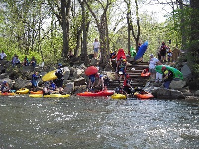
Beginner paddlers may put in at Pony Pasture and either take out at Reedy Creek/ Forest Hills Park or, if more advanced, continue on through Hollywood Rapids.
 Mitchell's Gut
Class II
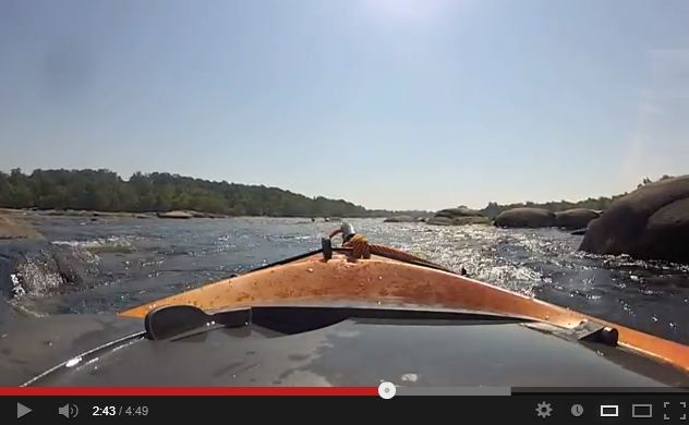
A long boulder garden. Reedy Creek (and beginner's takeout) comes in from the right as a slow moving inlet.
River @good height
First BreakClass II
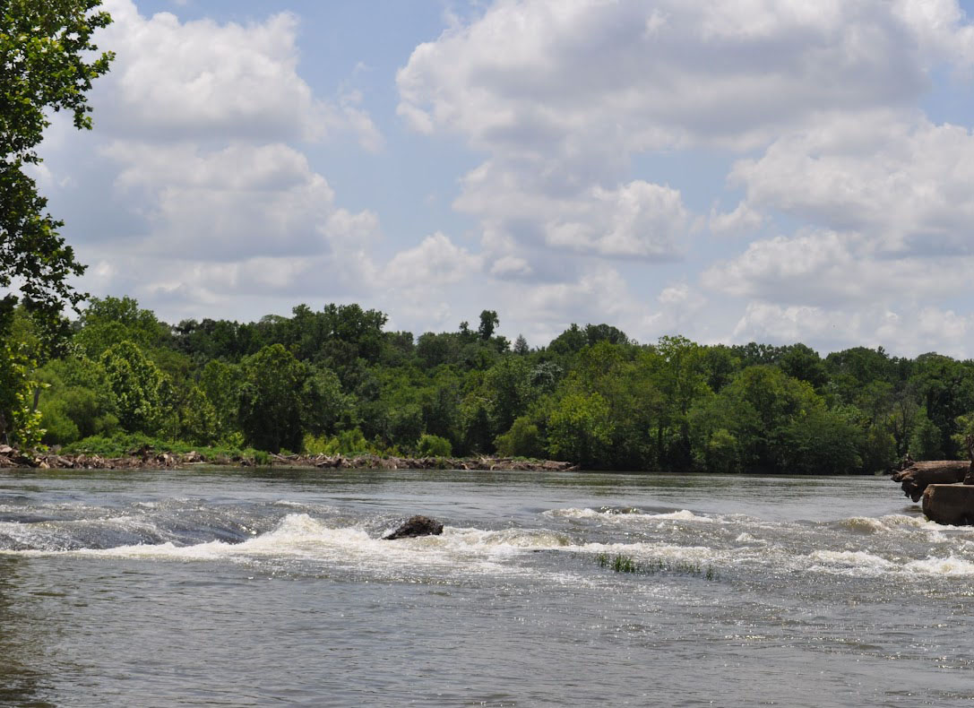
The first rapid at the main body of the James. There are taller standing waves here.

Best @4-5ft
Hollywood DamClass III
The dam at the end of the flatwater can reach a height of 17ft. NOTE: This is a low head dam and at levels above 6ft, the uniform hydrolic at the base can create a "suckhole."
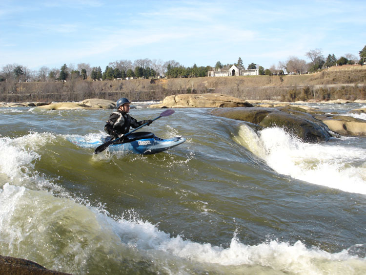
River height @6.3ft
HollywoodClass IV
The best known rapid in Richmond, at higher water there are large keeper holes, which can be dangerous; lower levels increase the chance of hitting rocks if upside-down.
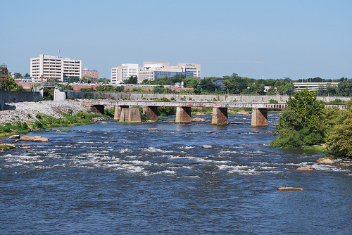
Take out at river right
SouthsideClass III
Southside features a takeout at river right, amidst the rip-rap rocks.
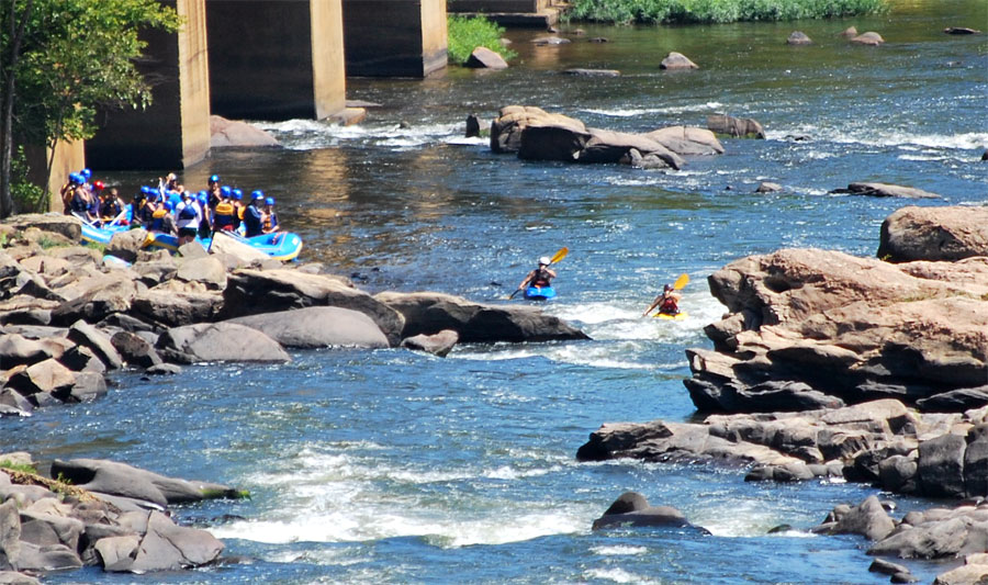
River height @a good level (above 4ft)
PipelineClass IV
Pipeline is the farthest left and most popular line on this section of gradient. The drop is also a good playspot for cartwheels.
Powhite Ledges
The ledges are in at lower levels (below 6ft).
Around 4ft, there is a good surfing wave river center about 2/3rds of the way through the rapid.
A surfing wave under Powhite Bridge is found around 3.5-4ft. It is on river left under the bridge.
At river levels above 6ft, the low head Hollywood Dam becomes dangerous to navigate and should be avoided as circulation patterns on the downstream side could submerge a kayak indefinitely. - stay to river right and continue to Hollywood Rapids.

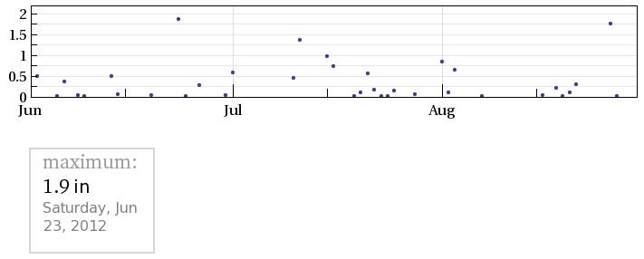
Heavy storms moved through Richmond on August 25 dropping more than an inch and a quarter of rain and easing drought conditions on the area.
![]() Click to see the Hollywood Dam at high and low levels
Click to see the Hollywood Dam at high and low levels

At river heights of 5ft-6.5ft there are front surfing and wave wheels at First Break.
When the river is above 5ft at Westham Gauge a personal floatation device is required when on the river. At 9ft and above, each person on the river is required to have a permit, carry a first aid kit and rescue line, and paddle in a group of 3 or more.

